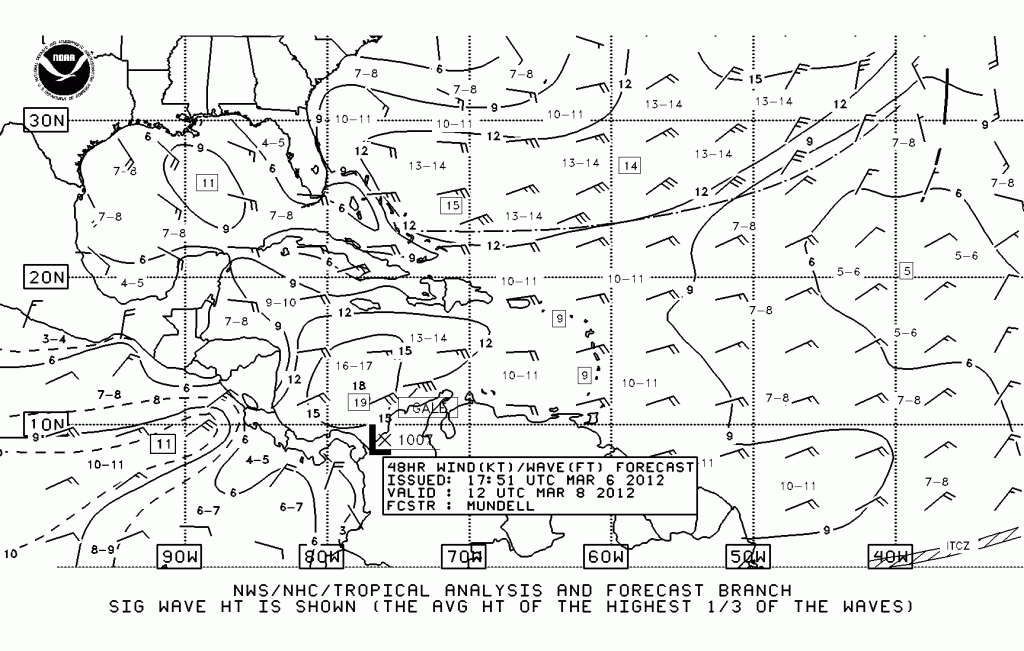
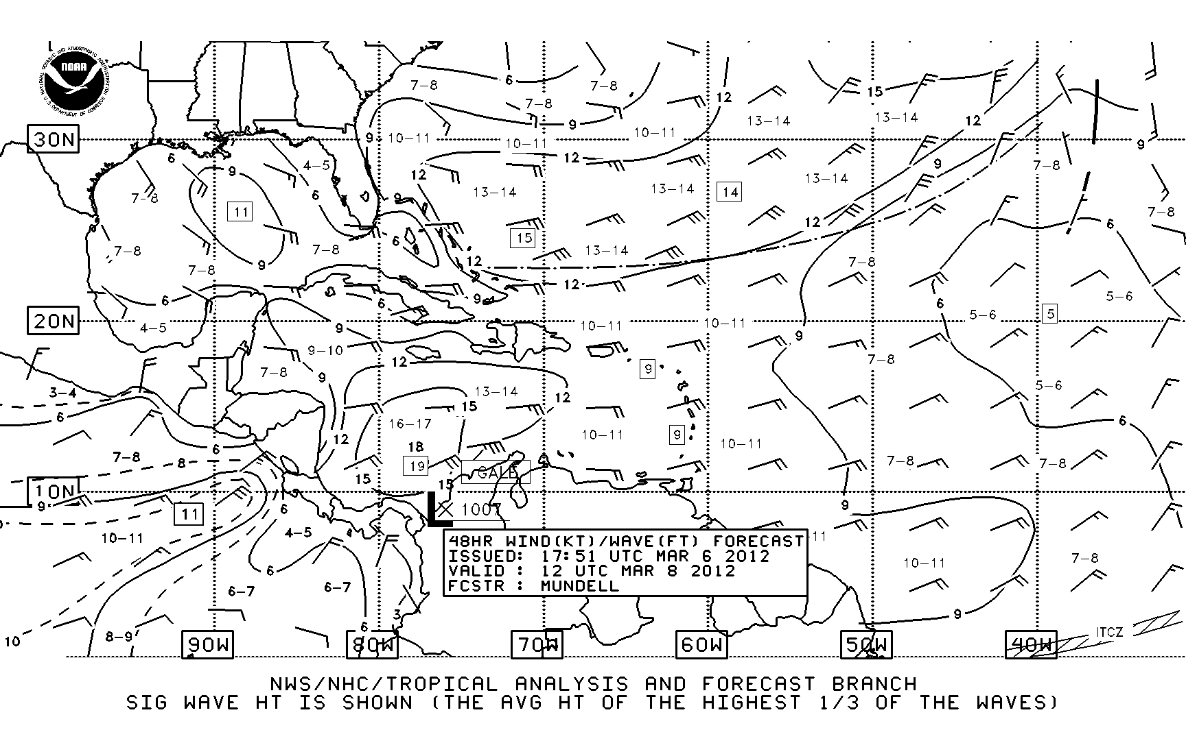
All the squiggles and lines on a NOAA Wind/Wave Forecast, make it so it might as well be speaking a foreign language – probably Chinese with all the strange symbols! If this forecast is difficult to see, click on the image below for a full size wind wave forecast. I’ll give a simplified description of reading this weather forecast below, but if you want the detailed real legend directly from NOAA, click here. So here we go … you’re looking at a 48 hour wind/wave forecast from NOAA. For instructions on how to get this forecast via the internet or FTP directly to your e-mail, click here. This wind/wave covers the southwest atlantic ocean, including the Caribbean and Gulf of Mexico – it includes South Carolina all the way to Cartagena, Columbia and points south. It has lots of good information – the wind speed and direction, the wave height, troughs, lo’s and cold fronts.
Find Florida on the forecast.
Wind Barbs: You will see a wind barb off the southwest coast. This barb shows us how much wind is forecast and from what direction. There are two “feathers” on this wind barb. Each full length feather is 10 knots of wind, so we know 20 knots (2 feathers) are blowing. The wind barbs read opposite what you’re used to with your wind indicator on top of your mast – the masthead indicator points into the wind direction, but wind barbs on a NOAA forecast mean the wind is coming from the direction of the feather. So our 20 knot wind barb is showing us that the wind is forecast to come from the east, slightly southeast. Now look up at the wind barb just above – you’ll see a long barb and a short barb. The short barbs indicate 5 knots of wind, so a long and a short would be 15 knots, and again blowing from the just south of east.
Wave Height: The little numbers printed all over the forecast, such as the 11 in a box just to the left of the two wind barbs west of Florida, are wave heights forecast. The wave heights are enclosed with a solid line to show areas of like wave height. You can see the circle around the 11 in a box in the Gulf of Mexico. Directly off the west coast of Florida is a solid line with a 6 — this indicates an area of 6 foot waves and inside it in the armpit of Florida, it shows 4-5, the forecast wave height for that area.
Heading around the Florida Keys to the Bahamas, we can see that the wind is forecast to be blowing 25 knots and the seas are 7-8 and 9 in places between the Keys and the Bahamas. Plus the wind direction is just south of due east. This will not be a good day for our little Passport sailboat to cross to the Bahamas, we be trying to sail exactly the direction the wind is coming from.
Cold Front, Trough, Gale: Other features on this forecast are a cold front out in the Atlantic, represented by the line with solid black triangles. Just below that cold front line is a dashed line indicating a trough. A trough is an elongated area of relatively low pressure. Trough is the opposite of Ridge which is not shown on this wind/wave forecast, but would be an elongated area of relatively high pressure. You’ll also note GALE warnings toward the mid-bottom off the coast of Columbia and another GALE warning off the coast of the Pacific side of Mexico.
We get the latest 24 hour, 48 hour & 72 hour wind/wave forecasts daily if we’re getting ready to move. Otherwise, we may rely just on the NOAA Offshore text forecasts, buoyweather and, our favorite, Chris Parker weather. More info on these sources to come!


Now that is some handy information. Thanks.