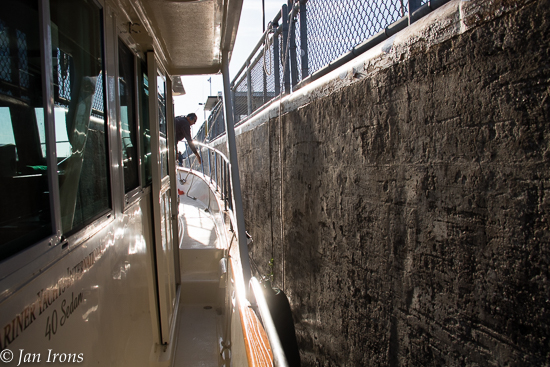
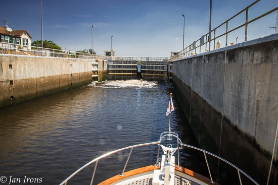
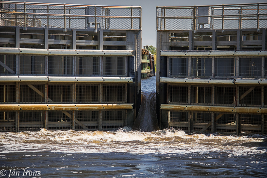
Our 1st lock ... Franklin Lock on the Okeechobee Waterway.
Restarting The Great Loop, Days 4 & 5…. no time to write a “real” post, so I hope you enjoy some photos from along the way.
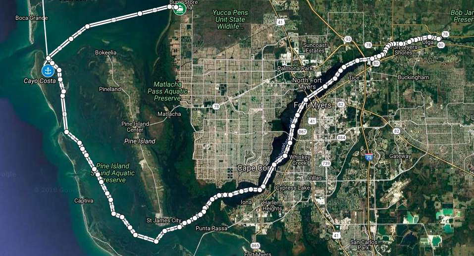
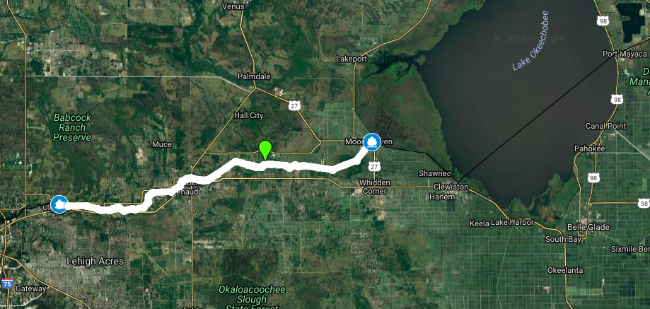
Day 4. Burnt Store Marina to Franklin Lock West Anchorage. 64 miles.
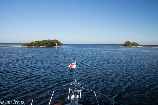
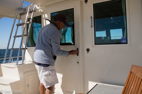
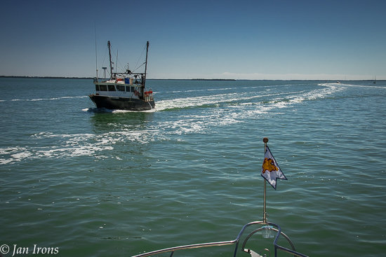
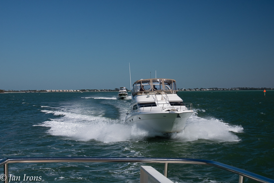
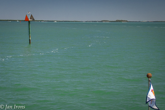
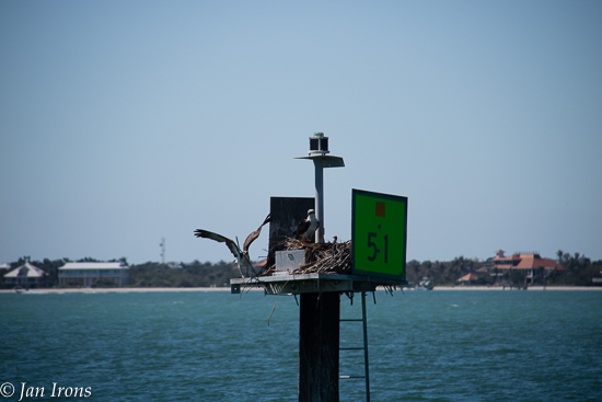
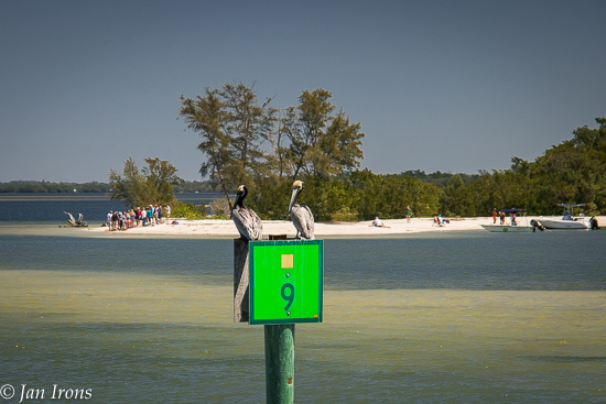
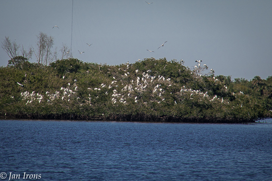
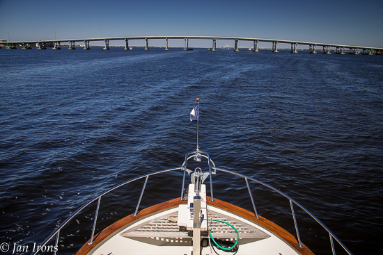
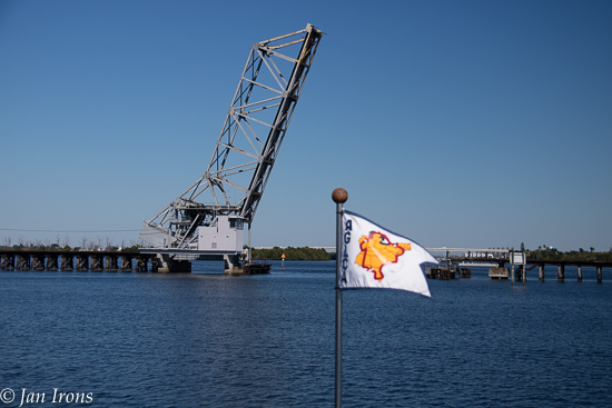
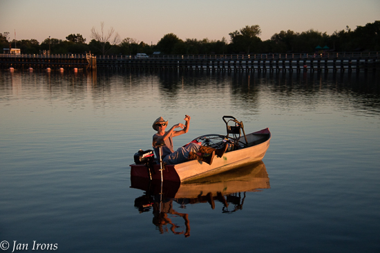
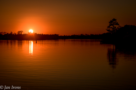
Burnt Store Marina to Franklin Lock West Anchorage … 64 miles Day 5 … WAY too many miles!Leaving Burnt Store Marina for the next phase of our Great Loop!Is leaving on a Friday bad luck? An hour across Charlotte Harbor and the wind/waves were wicked … slamming the back door shut. Then it refused to open. David spent an hour fixing it while I drove.A shrimp boat coming the other way on Florida’s West Coast ICW.And then there were the “bad boys”. No one taught these guys seamanship – we were rolled severely several times. Jerks!ICW #16 — the Southernmost Point on our Great Loop — heading east from here across the Miserable Mile & then the Caloosahatchee RIver/Okeechobee Waterway.Ospreys love to next on marker pilings.The infamous Miserable Mile wasn’t as bad as it could have been… Pelicans rest on a marker while folks enjoy the beach along the Mile.A gazillion White Pelicans hanging out on some little islands near Ft Myers.And then the bridges start near Ft Myers…Railroad bridges are usually open.A fellow midwesterner, this guy from Iowa stopped by in his aluminum skiff with a full size bicycle (and an extra tire), plus his power washer … said he was going fishing but forgot his fishing pole??? You gotta love the characters you meet on the water!Sunset from our peaceful, quiet anchorage at Franklin Lock West … 64 miles after leaving Burnt Store.
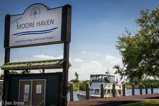
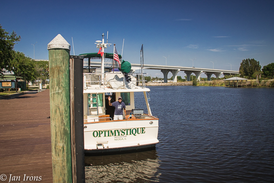
Day 5. Franklin Lock West Anchorage to Moore Haven City Dock. 47 Miles.
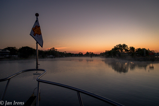
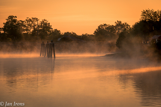
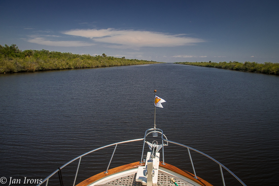
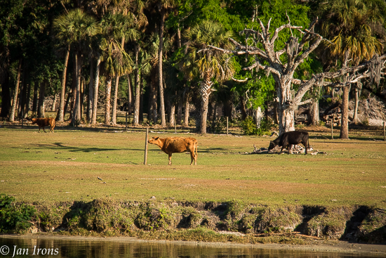
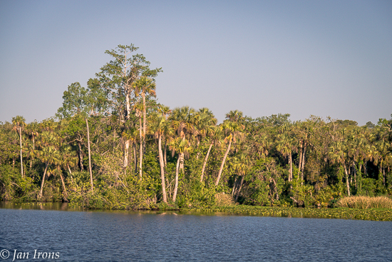
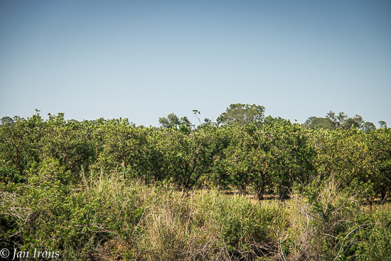
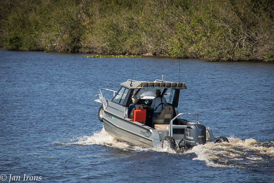
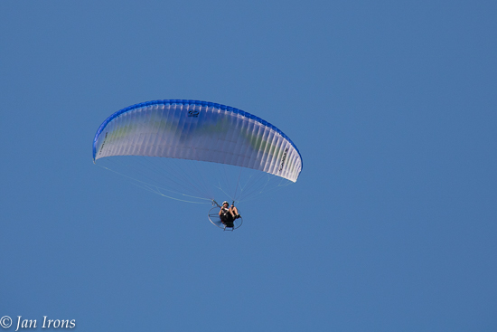
Good Morning! Day 5. Anchor up so we can head through the Franklin Lock to points East.Glorious sunrise over the Franklin Lock Campground & Marina (other side of the lock!).Franklin Lock — our first lock since I can’t remember when. Luckily there were lines hanging from the walls. Unluckily, they weren’t long enough!Part of the Okeechobee Waterway – a 152 mile long partly man made cut through Florida from Ft Myers to Stuart FL via Lake Okeechobee, the 2nd largest fresh water lake in the US!Everyone said to watch for abundant wildlife along the Okeechobee Waterway … so far we’ve seen lots of COWS! Does that count?Gorgeous jungle-like scenery, but no alligators … yet.Lots & lots of orange groves line the waterway.3 bridges today … a couple looked like close calls.What the heck is THIS? Look closely, you can see TIRES on the front and rear, ready to be lowered & DRIVE up the boat ramp out of the water? I’d love to see it in action other than on the water!Ortona Lock … then the Ortona Lock … 8 feet up. Longer lines, no problem!Water rushing in the Ortona Lock, almost a waterfall in itself!Moore Haven City Dock for the night… the next lock is less than a half mile further, so there’s no traffic after 5 PM here. Easy & nice.The US 27 Highway bridge is next, then the Moore Haven Lock (after the railroad bridge). First thing tomorrow?Friends saw a seaplane doing touch & goes near here. Our only excitement was this hang-glider guy flying over the boat.
We’re having a blast, but probably need to slow down. Crossing Lake Okeechobee is dictated by weather – it may be the 2nd largest fresh water lake in the US, but it’s also really really SHALLOW. Translation: any time the wind picks up a boat with a 4′ draft (that’s us) will be bouncing across the bottom the entire 24 miles to the other side. Sunday’s weather is supposed to be flat calm – a highly desirable condition for crossing. So we’ve been hurrying – and we’ll slow down after we get across Lake “O”. 🙂
“Real” posts coming with some additional observations, but until then….. CHEERS! Jan & David
Real nice pics. Today (3/26) Lake O’s depth is 8′ going straight across on Route 1 and 6.2′ if going around the edge on Route 2, so you should be ok with your 4′ draft on either route. Route 1 is quicker but you won’t see much, whereas Route 2 will be along the edge in more protected water showing you some of the small towns. If you stop at Indiantown Marina after you get across Lake O, stretch your legs and take a one mile walk to the Seminole Inn for some great food; and they also sell homemade bread.
Hey Jan and David! Great pics as always. We’re so excited for you two. Yet another interesting mode of travel and we’re looking forward to following this new adventure. Hopefully we can meet up when you get to Ontario. Do you think you’ll catch up to Courageous? Cheers, Carleen & Jim
Hi Carleen! We saw Courageous in Burnt Store Marina – had docktails/dinner together (also Tony & Vicky). They’re a few days ahead of us, so not sure if we’ll catch them or not. We have other friends that are currently in St Augustine (along with Terry & Joanne). We’d love to catch them, but don’t want to miss anything either…. we’ll wait & see. Hello to Jim! Cheers! Jan


Nice photos! Keep going! 🙂
Love it! Inspiring us. Can’t wait to see more!!
Real nice pics. Today (3/26) Lake O’s depth is 8′ going straight across on Route 1 and 6.2′ if going around the edge on Route 2, so you should be ok with your 4′ draft on either route. Route 1 is quicker but you won’t see much, whereas Route 2 will be along the edge in more protected water showing you some of the small towns. If you stop at Indiantown Marina after you get across Lake O, stretch your legs and take a one mile walk to the Seminole Inn for some great food; and they also sell homemade bread.
Hey Jan and David! Great pics as always. We’re so excited for you two. Yet another interesting mode of travel and we’re looking forward to following this new adventure. Hopefully we can meet up when you get to Ontario. Do you think you’ll catch up to Courageous? Cheers, Carleen & Jim
Hi Carleen! We saw Courageous in Burnt Store Marina – had docktails/dinner together (also Tony & Vicky). They’re a few days ahead of us, so not sure if we’ll catch them or not. We have other friends that are currently in St Augustine (along with Terry & Joanne). We’d love to catch them, but don’t want to miss anything either…. we’ll wait & see. Hello to Jim! Cheers! Jan