Bahia Honda State Park is well known for it’s beautiful beaches, camping and snorkeling in the middle Florida Keys. Technically the park has 3 anchorages, south, north and between the bridges, but none of the anchorages has wind/wave protection from more than one direction. But because it’s so close to Marathon’s Boot Key Harbor, it’s an easy day jaunt overnight or a few days stop on the way down the Keys … or back to Marathon’s protected harbor, if like us, you have three days before another strong cold front in the forecast. At Mile Marker 57, it’s just a few miles below Marathon’s Boot Key Harbor … exactly 13 miles from untying the mooring ball to anchor down.
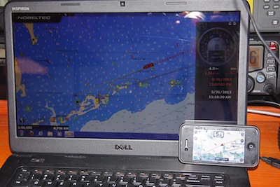
The three anchorages, Bahia Honda North, Bahia Honda South and Bahia Honda/Between the Bridges. Between the Bridges is the primary anchorage located just off the beach and park headquarters, but there’s a strong current between the Overseas Highway and the old Flagler Railroad bridge that has a cut specifically to allow boats to enter the anchorage between the bridges.
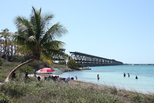
(Disclaimer: any waypoints or routes offered are offered as OUR experience, every boat is responsible for navigating safely, do not use these waypoints without using your own eyes and common sense!)
According to ActiveCaptain.com, the three anchorages waypoints are as follows:
Bahia Honda North: 24°40.212’N; 081°16.099’W
Bahia Honda South: 24°39.391’N; 081°16.270’W
Bahia Honda Between the Bridges: 24°39.394’N; 081°17.023’W
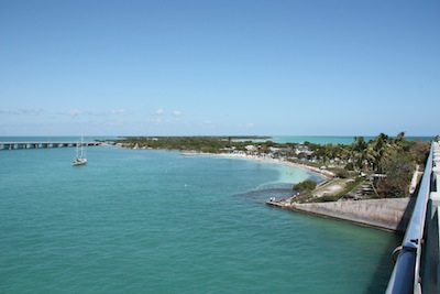
The Bayside of the Florida Keys is notoriously shallow, especially for deep draft boats. For years we’ve been told we cannot explore the bay side because of our draft. This year we decided to test the waters and see where we COULD go rather than listen to all the naysayers say we CAN’T.
With the wind blowing 12-15 from the southeast, we took the bay side ICW, nearshore route to the north side of Bahia Honda. Our three different electronic charts said we should be seeing 6 feet, but the shallowest we saw was 7.8 and the tide is slack at a 1.3 plus. So subtracting the 1.3 from our 7.8 leaves about 6 1/2, so we THINK we could have made the jaunt at mean low water, but it was nice having the extra foot under our keel!
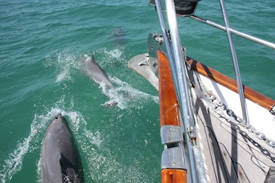
Sailing in such shallow water was like enjoying a glass bottom boat ride! We sailed on the jib alone just because we wanted to go slow and see what we could see. We saw dolphin, rays, sea turtles, starfish and lots of turtle grass. Very fun sail.
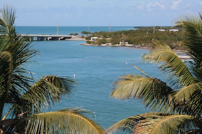
We dropped the hook at 24 40.233N and 81 16.033W and were the only boat anchored on the north side of Bahia Honda. In fact, there was one boat anchored between the bridges and none on the south side (obviously since the wind was SE). We anchored in about 10 feet of water in a sand patch. The north anchorage is wide open and there’s room for lots of boats, but no protection from winds other than south or southeast.
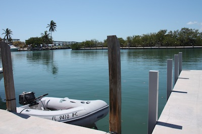
Dinghy access: we dinghied in to the State Park dock, expecting to have to pay for dockage, but when we checked in with the harbormaster, he told us since they weren’t busy just to take a space down in the far corner out of anyone’s way and no problem.
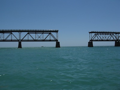
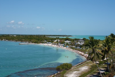
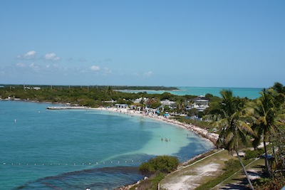
The island and its state park offered fun opportunities for exploring. Click here for the Bahia Honda Park website and more specific information. Beaches, picnics, a small natural history display, a snorkel tour boat to Looe Key out on the reef, a nice snack-stand (including ICE CREAM!!!). We hiked, walked the beach (although with the strong winds from the SE for so long, the seagrass stacked up on the beach was almost mountain high – these are natural beaches, they are not cleaned like expensive hotel beaches, so all that natural seagrass accumulated and didn’t have the most pleasant smell). We loved walking out on the old Flagler bridge and taking in the surrounding beauty.
Unfortunately the wind only allowed us one night at Bahia Honda North — the forecast SE wind that had lasted for days, suddenly (surprise) went WEST, putting us on a lee shore and we had to relocate. We chose to pick our way almost due north to the Johnson Keys to get protection from the West and some protection from the north winds later in the day and overnight. This was only a jaunt of 4.1 miles and we anchored at
Anchorage Between Johnson & Little Pine Keys, Bayside, Florida Keys: 24 44.493N; 81 18.282W.
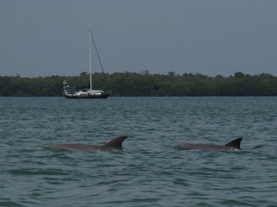
We anchored in sand and turtle grass in about 8-9 feet of water. Finding a sand patch was a bit of a challenge, but necessary as there was also coral and rocks with holes in the area. On the sail up, we saw sea turtles, more dolphins and other sea life as well as coral, vase & barrel sponges and a variety of smaller fish. Dinghying all around Johnson Key, we found no compelling reason to return to this area. The water was clear and we saw alot of turtle grass but no more sea turtles in our circumnavigation. The next morning before anchor up, David spotted a HUGE lobster in a hole right beneath the boat. Too bad lobster season had ended a few days before! 🙁
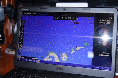
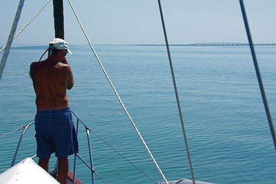
The 13 mile journey back to Marathon, turned into a motorboat ride with absolutely no wind. We chose the outer ICW and saw about the same depths as coming along the inside route, no problem. The glass bottom boat ride was just as fun as our slow sail out and we enjoyed our time spotting fish, rays, turtles, barrel & vase sponges and a variety of smaller fish.
Most importantly, we proved to ourselves that we CAN explore the bayside of the Florida Keys with our 5 1/2 foot draft. We just have to be careful & pick our spots and possibly watch the tides.



Looks like fun! We have 5″8′ draft, maybe we’ll check it out later this year! Thanks for posting.
Cool! Maybe we can share an anchorage & watch sunset together!
…and with our 2’9″ draft, a piece of cake! We need to plan a trip south!
Jealous! Except when we’re out in heavy seas, but I bet you’re a cat. 🙂 Cheers — Jan